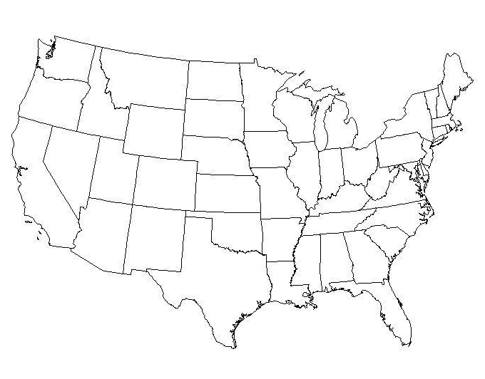
2.2 ASSIGNMENT: Label US Map (Due on September 7)
Map Labeling (10 points)
For this assignment, you will be reviewing the location of the contiguous states in the USA.
STEP 1: Right-click on the map image. Choose Save Image As and save the map image to your computer. You will need to make sure you know where the image saves-- it might save to your desktop or to your downloads folder, depending on your settings.
STEP 2: Open your Google Drive. Choose New > More > Google Drawings This will open up Google Drawings.
STEP 3: In Google Drawings, click Insert > Image. Choose your map image to upload.
STEP 4: Label your map with the items listed below. (HINT: If you need help, you can go HERE to learn about Geologic Provinces of the U.S. in addition to the resources provided this week).
Use Insert > Text Box to enter text on your map.
Use Insert > Line > Scribble to draw on your map. You can change the weight and color of your lines.
Draw and label the following:
- Mississipi River (1 pts)
- Rio Grande (2 pts)
- Rocky Mountains (2 pts)
- Colorado Plateau (2 pts)
- Great Salt Lake (2 pts)
- Missouri River (1 pts)
When finished:
STEP 1: Click SHARE in the upper right hand corner of your draw document.
STEP 2. Copy the Link to Share
STEP 3. Click Add Submission to open a text box. Paste (control+v) the link into the submission box.
After you have completed this assignment, it will be marked as complete with a checkmark after it has been graded by the instructor.
